Ground Filtering (Pt 2)
An updated model and some quick thoughts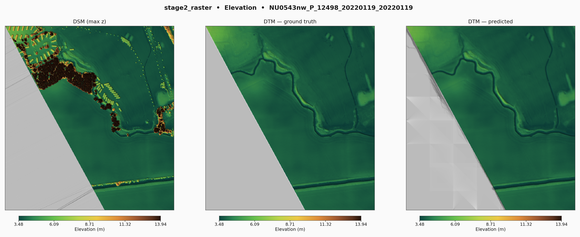
Since I began this project, I have learnt how the RMSE framing is much more beneficial than focusing on IoU and Error Type 1/2 errors. Whilst these other metrics show strong for this model too (around 98.5% of 50cm areas are being classified correctly), RMSE (particularly Ground RMSE - which is around 5-10cm on average) gets to the root question which is how close is the ground DTM to the ground you are looking for. IoU and Error % are going after what, in practice, are going to be more subjective measures of what type of non-ground the classifier has decided to focus on.
With this blog post I am releasing the model, which is trained and is in the process of being validated on all of 2022 EA data. Whilst this is very good for these regions, it should be noted that one of the major problems many of these ML models face over classical algorithms is they have to be retrained to varying terrains and regions. This is to say the final numbers will not be so good on, say, Milton Keynes as they will be on Northumberland. This is because the model has not encountered the unique geography (e.g. suburban sprawl) of Milton Keynes as frequently in training. DEFRA and the EA do not have 100% England coverage per annum. In a future model, I would aim to take from 2005 onwards a diverse range of data to ensure the model stands up to a more diverse set of areas.
I have attached on the Github the latest model, with some sample LAZs. I apologise for not being able to upload all 6000 LAZ files as Github imposes a file size limit on repos. The files are just the first few files to be processed in alphabetical order, they are not handpicked or sampled in a stratified manner.
Mostly this post acts an announcement to my followers for what should be an useful update.
Feel free to have a look and browse! https://github.com/JacobWeinbren/GrounDiff/